
Here is a map of 7 scenic running routes in central Madrid. A more detailed version of the map is available here. They vary in length, and you may find that you’ve had a great workout after doing one or two lap on some routes, while you may be able to do many laps on the shorter routes. Feel free to share your experiences with staying fit while traveling in the comments.
1. Casa de Campo Lake
- 1 lap = ~0.9 mi or 1.5 km
2. Parque de San Isidro
- 1 lap = ~1.5 mi or 2.4 km

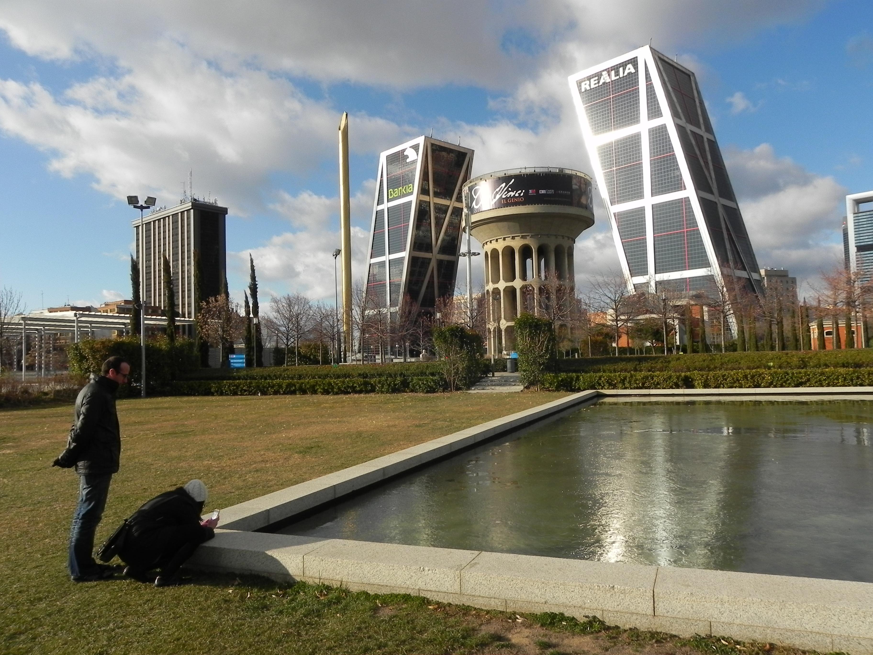
3. Bank of Rio Madrid
- 1 lap = ~2.8 mi or 4.5 km

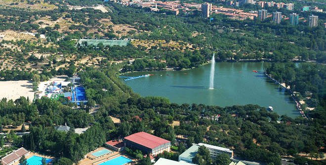
4. Parque Retiro
- 1 lap = ~2.1 mi or 3.4 km

5. By the Palacio Real de Madrid
- 1 lap = ~2.7 mi or 4.3 km

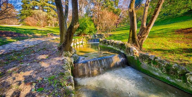
6. Parque del Oeste
- 1 lap = ~3.7 mi or 6.0 km
7. By the Canal de Isabella II
- 1 lap = ~0.7 mi or 1.1 km


Loved this post. I’m going back to Madrid in December so will take a look at some of your suggestions!
LikeLike
So glad to hear it! I’d love to hear how it goes! What is your favorite memory of the city?
LikeLike
Well I was there the weekend of the protests so my abiding memory will be the countless flags attached to every building. It is such a beautiful city with such a troubled past- like most places sadly- so I just hope the current situation is resolved quickly and peacefully.
It is beyond me why there is such a desire for discord and separation at the moment when there are much more serious problems facing countless people.
Natural disasters, poverty and injustice, homelessness and life limiting medical conditions- not to mention global warming, corruption and cruelty should be enough problems to address without creating new conflicts!
LikeLike
WOW!!!! Very well put. When I lived in Spain (Andalucia), I how important things like spending time with family and relaxing with friends are to the people – hopefully that cultural value will lead them to resolve the conflict quickly!
LikeLiked by 1 person
I do hope so as I have one daughter who lives in Barcelona and a son who lives in Madrid so I worry either way about both of them if there is conflict.
LikeLike
My thoughts are with their safety!
LikeLiked by 1 person
My boyfriend works right next to Retiro and a few times has (somehow) managed to convince me to go along on his runs around the park. My favorite part is running by the lake and imagining going for a cool off swim 🙂
LikeLiked by 1 person
That’s awesome! Let me know if you ever decide to go for the splash and take the cool off swim (you might want to wait a few months, though…)
LikeLiked by 1 person